
Overview
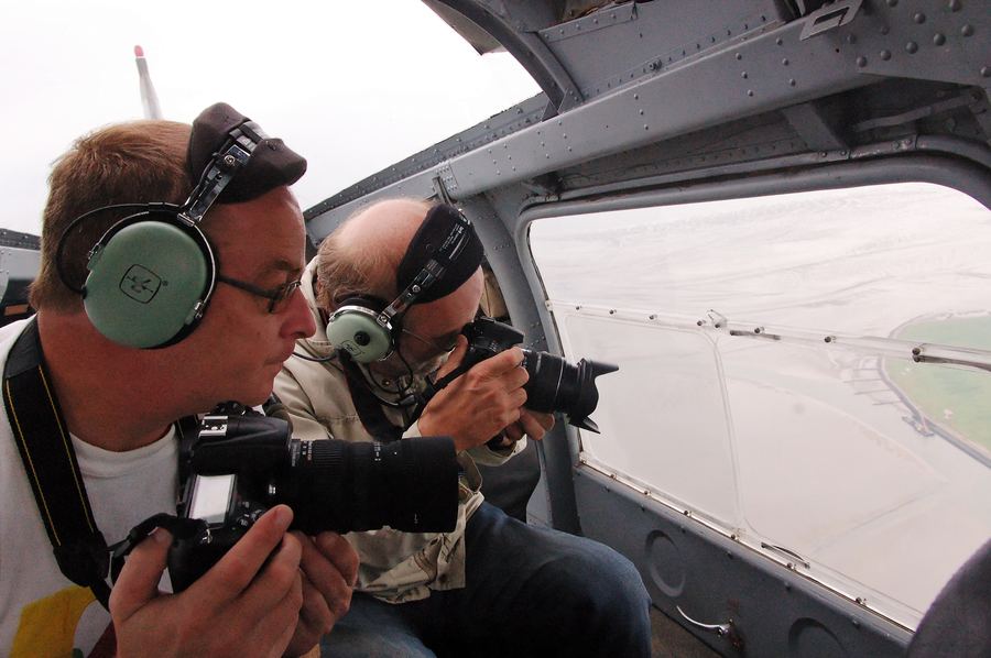
Aerial photography and mapping involves capturing images of the ground from aircraft, helicopters, balloons, or drones for purposes ranging from cartography and land surveying to real estate marketing and environmental monitoring. The practice dates to the mid-19th century, when photographers first used balloons to capture bird's-eye-view images, and it expanded rapidly during both World Wars as militaries used aerial reconnaissance for mapping and intelligence. Modern aerial mapping typically combines high-resolution cameras with GPS positioning to produce georeferenced imagery that can be used for accurate ground measurements. Drones have significantly expanded access to aerial photography in recent years, letting smaller operators capture detailed imagery at a fraction of the cost of traditional manned aircraft surveys.
History
Aerial photography began in the mid-19th century when photographers first captured bird's-eye-view images from balloons, and the practice expanded dramatically during both World Wars as militaries relied on aerial reconnaissance for mapping and intelligence purposes. Civilian aerial mapping matured through the mid-20th century alongside advances in camera technology and photogrammetry, the science of making measurements from photographs. GPS integration from the 1990s onward let aerial imagery be precisely georeferenced, and the emergence of consumer and commercial drones since the 2010s has dramatically expanded access to aerial photography and mapping for smaller operators.
Design & Specifications
Aerial mapping platforms carry cameras or sensors mounted on a stabilized gimbal that compensates for aircraft vibration and movement, keeping images sharp during typical in-flight turbulence. Photogrammetry-grade cameras are paired with precise GPS positioning equipment so each captured image can be accurately georeferenced and later stitched into a seamless map. Specialized sensor types beyond standard cameras include multispectral and hyperspectral imagers, widely used in agricultural and environmental mapping. Drone-based mapping systems have miniaturized much of this equipment, packing GPS, camera, and stabilization hardware into a package small enough for a consumer or light commercial drone.
Operations
Aerial mapping missions are planned using flight-line software calculating the exact overlapping paths needed for complete coverage at the desired resolution. Pilots fly these lines at constant altitude and speed, since consistent parameters are essential for images to stitch together accurately afterward. Lower altitudes capture higher-resolution imagery over a smaller area per photo, while higher altitudes cover more ground at some cost to resolution. After the flight, captured images are processed using photogrammetry software that stitches individual photos into a seamless, georeferenced map.
See also
References
| Category | Special Operations & General Aviation |
| Type | Aerial imaging |
| Platform | Aircraft, balloon, drone |
| Origin | Mid-19th century balloons |
| Modern Tool | Drones + GPS |